China: Xinjiang

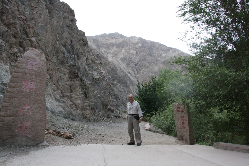
Nan Shan: Welcome to Xinjiang

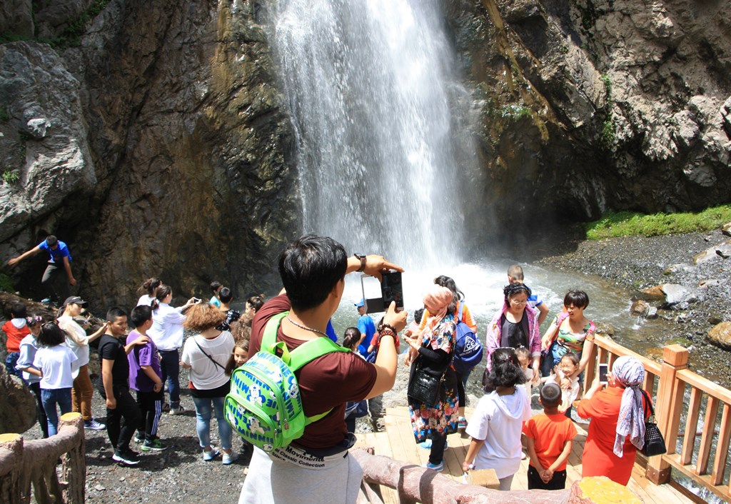
Ürümqi (pop 3.5 million) - Uyghur name

Wūlǔmùqí – Chinese name

Xinjiang – Uyghur Autonomous Region

Peoples Republic of China

June 24, 2017

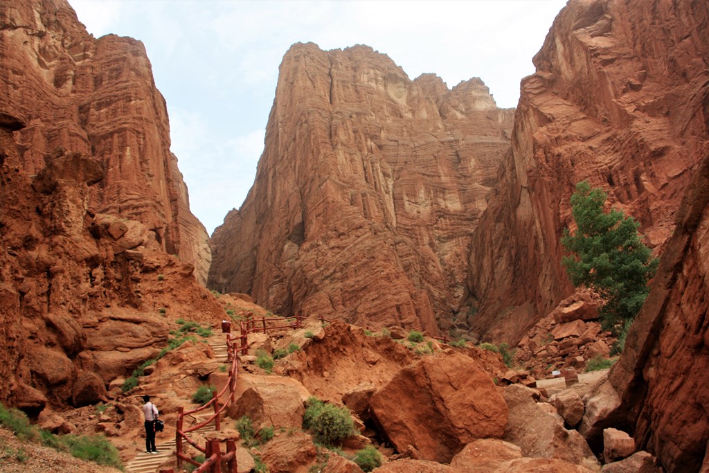
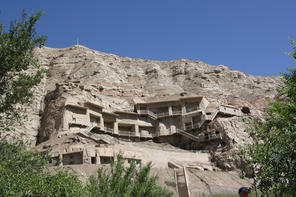
Hello and Welcome to Nan Shan – The Southern Mountains,

In the parking lot of this popular tourist area seventy-five kilometers (46 miles) south of the city, young Kazakh women offer to take us to their summer yurts for tea or lunch.  Horseback rides are available as well as hikes through the grassland meadows up the mountainsides.

(Between May and October Kazakh families move their yurts into this area to graze their herds. Kazakhs are an important minority group in this area of China.  The border of Kazakhstan is just beyond the mountains.) 

Korla: The Dusty Pass and the Fragrant Pear

Korla

Xinjiang-Uyghur Autonomous Region

China

June 26, 2017

Dear Friends and Fellow Dreamers,

Stand with me now at the Iron Gate Tower … and imagine ….

Imagine that behind us lies the Tian Shan mountain range.  Our Silk Road caravan has traversed the mountains carrying goods from Pakistan and the West.  Beyond the gate we face steep cliffs and even more mountains.

Please close your eyes.

Kucha: The Ancient Ruins of Subashi

Kucha

Xinjiang

China

June 27, 2017


Xinjiang’s most extensive Buddhist site lies in a riverbed 20 kilometers (12 miles) north of the modern city of Kucha.

The Ancient Ruins of Subashi date from the Third Century CE and includes towers, halls, monasteries, dagobas (domed-shaped shrines) and houses, all severely damaged by time and the elements of the desert.  Yet the basic mud brick construction materials are clearly evident.

The city held several thousand inhabitants but was sacked and burned in the Ninth Century and had been abandoned by the Thirteenth Century.

Tianshan: Grand Canyon

Tian Shan Grand Canyon

Kuqa County

Aksu Prefecture

Xinjiang – Uyghur Autonomous Region

People’s Republic of China


June 28, 2017

Dear Friends,

The Tian Shan Grand Canyon is a 5.5-kilometer-long canyon (3.4 mi) characterized by tall, thin pinnacles, massive buttresses, overhanging walls and heavily eroded red rock.

The canyon is 53 meters (58 ft.) at its widest point, but only 0.4 meters (16 inches) at its narrowest.

It’s quite easy to hike through the canyon.  There are some stairs to climb and some water to avoid.  But basically, it’s easy.

However, it’s quite difficult to describe the scenery.


Here is one description I found:

Pages